They suddenly appear out of nowhere. You are still wandering through the dense forests of the Teutoburg Forest, lost in thought, when you see the sandstone rocks, up to 40 meters high, at the next fork in the road. The Externsteine. They were formed a good 70 million years ago, when the unbridled forces of nature shaped the unique landscape of the Teutoburg Forest with all its ridges, cliffs and gorges. The five giants near Horn Bad-Meinberg, surrounded by a pond and surrounded by all kinds of myths and legends, are one of the most important natural monuments in Germany and have long been something of a regional landmark. The ninth stage of the Hermannshöhen leads past them, covering a total of 226 kilometers over the backbone of the Teutoburg Forest and Eggegebirge mountains.
Frozen in stone
A hike on this Top Trail of Germany is sometimes like a journey back in time through the history of the earth. If you look closely, you will see different layers of rock here and there, as well as the remains of a primeval ocean from which the rock masses once rose. This is also how the Dörenther Klippen near Ibbenbüren, a bizarrely shaped rock formation around four kilometers long, was formed. It is easy to recognize the rock, which is popularly known as the "squatting woman". According to legend, a mother froze to stone here to save her children from the great flood.
Unlike the Externsteine, the Dörenther Klippen are not allowed to be climbed. But the closer you get to them, the more impressive the view of the Münsterland lowlands to the south and the Tecklenburger Land to the northeast.
Outstanding views
The 441 and 468 meter high twin peaks of the Velmerstot are among the highest elevations to be conquered on the Hermannshöhen hike. The Prussian-Lippe border once ran across the flat saddle that separates them. The landscape also changes here. Whereas previously the route often led through densely overgrown mixed forests, spruce and stunted pine trees now give the Heidekopf its striking appearance. On a clear day, the view from the lookout tower on the Prussian Velmerstot extends as far as the Lippe and Hessian mountains. Even the Hermann monument can be seen in the distance. After all, the monument near Detmold is the highest statue in Germany with a total height of exactly 53.46 meters.
Historic walls
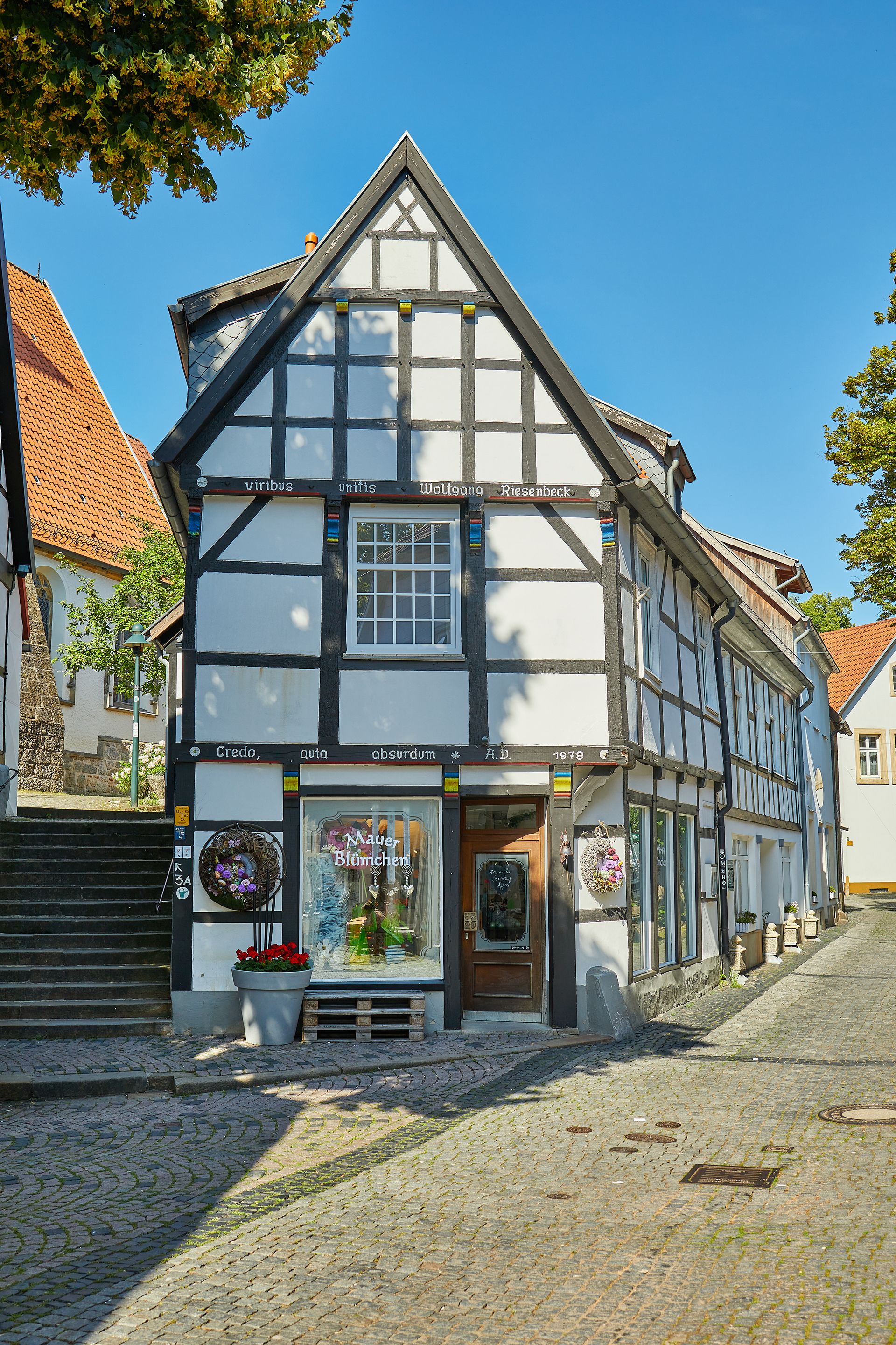
The region's other landmarks are also easy to spot. Not only is the history of the earth written on the Hermannshöhen, but with Sparrenburg Castle, Ravensberg Castle and Bad Iburg Historical Palace, three historic buildings with an exciting history await your visit. Go inside and become part of the medieval events in the Teutoburg Forest.