The Velmerstot route in the Teutoburg Forest offers views in a double pack, thanks to a twin summit. The Lippische Velmerstot is located in Lipperland and the slightly higher Prussian Velmerstot, at 464 meters, in former Prussia. As both peaks were grazed for many centuries, vast areas of mountain heath were created here. Today, the borders of the districts of Lippe, Paderborn and Höxter meet here.
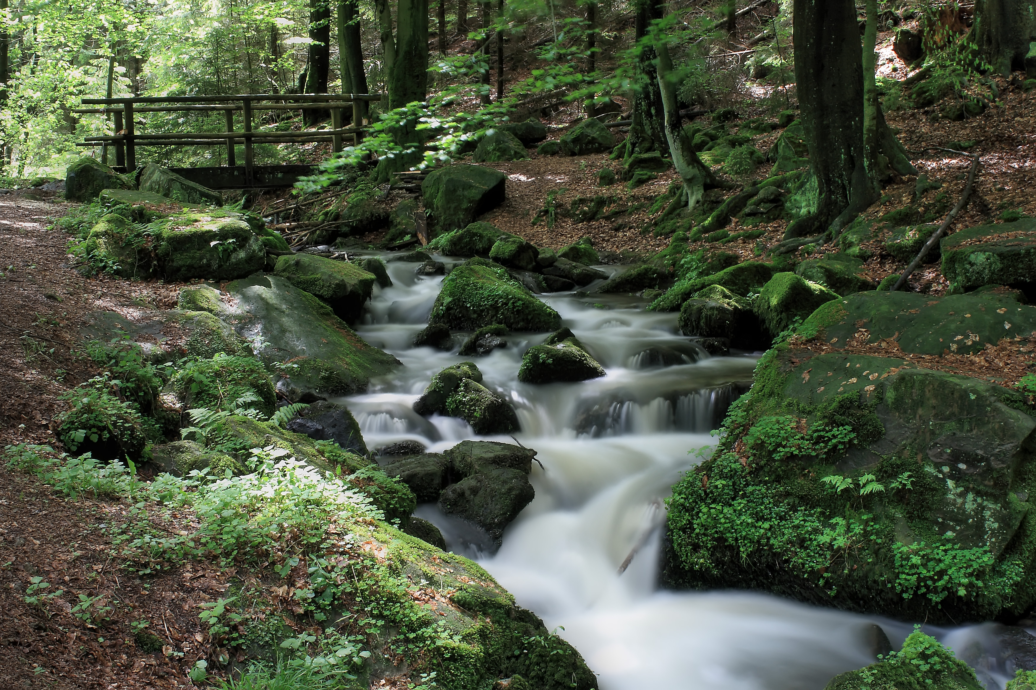
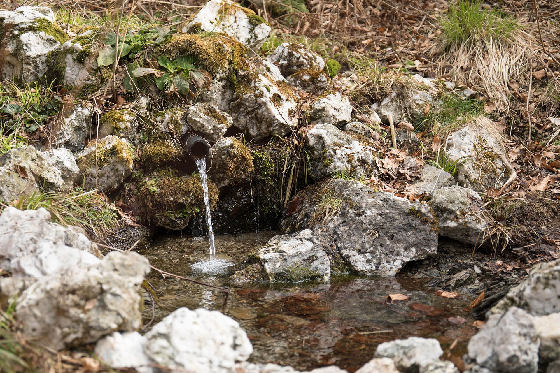
In total, the route is around 11 kilometers long and offers a variety of scenic highlights and impressive panoramic views. The descent leads through the romantic Silberbachtal valley, whose natural notch valley with its babbling brook and striking rock formations enchants every hiker. Sturdy footwear and a good level of fitness are recommended in order to safely master the sometimes steep ascents and descents.